Powered by
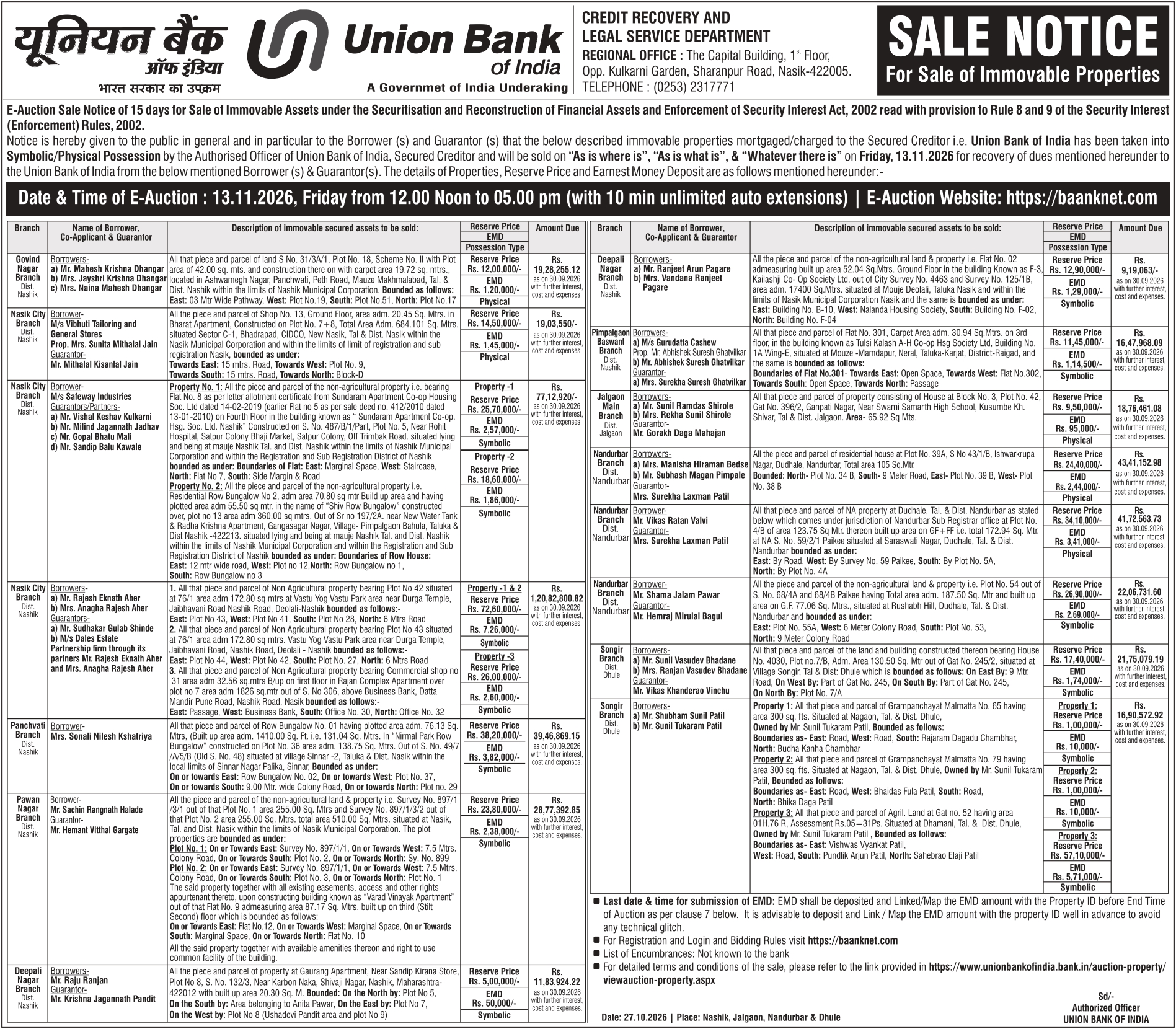
Two separately identified non-agricultural land plots, bearing Plot No. 1 out of Survey No. 897/1/3/1 and Plot No. 2 out of Survey No. 897/1/3/2, situated at Nashik, Taluka and District Nashik, Maharashtra, within the limits of Nashik Municipal Corporation.
The first property comprises Plot No. 1, having a stated land area of 255.00 sq. metres (approximately 2,744.80 sq. ft.), forming part of land bearing Survey No. 897/1/3/1.
The second property comprises Plot No. 2, having a stated land area of 255.00 sq. metres (approximately 2,744.80 sq. ft.), forming part of land bearing Survey No. 897/1/3/2.
Both plots have a combined total area of 510.00 sq. metres (approximately 5,489.59 sq. ft.), as expressly stated in the supplied property description.
The properties are classified in the source as non-agricultural land and property. The specific permitted use, whether residential, commercial or otherwise, has not been identified.
The two plots are separately identified by their respective survey numbers and plot numbers. The supplied description does not establish whether the plots are physically adjoining or legally amalgamated.
The properties are situated within Taluka and District Nashik, under the municipal jurisdiction of Nashik Municipal Corporation.
The exact locality, road, landmark, village, PIN code and access arrangements have not been provided.
The availability of approach roads, electricity connections, water supply, drainage and other infrastructure should be verified through site inspection and relevant municipal records.
The properties may be considered for development or investment, subject to verification of ownership title, non-agricultural permissions, sanctioned layout, permissible land use, development regulations and possession status.
The premises are specifically identified as Plot No. 1, Survey No. 897/1/3/1, measuring 255.00 sq. metres, and Plot No. 2, Survey No. 897/1/3/2, measuring 255.00 sq. metres, both situated at Nashik.
The supplied description introduces a boundary section with the words “The plot properties are bounded as under:”, but the actual boundary descriptions are not included in the provided image.

 Property Details
 Auction Date
 Region
 Flat
 Budget